Lidar
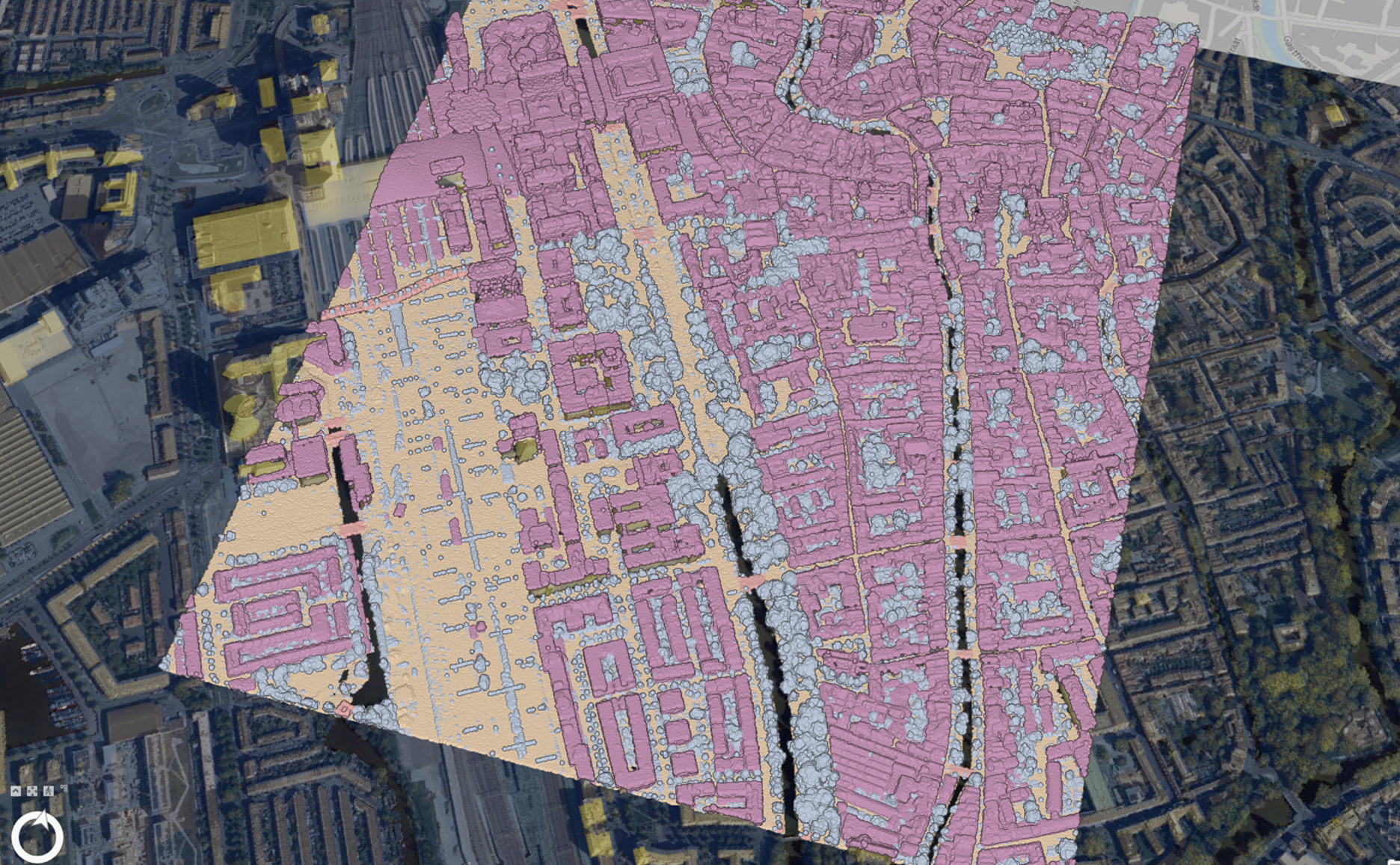
Lidar data is a powerful tool for creating detailed 3D models of geographic areas, and I used it to create a web scene of the city center of Utrecht in the Netherlands. The primary advantage of Lidar is its ability to capture high-resolution, accurate topographic information, which is essential for urban planning, infrastructure development, and environmental monitoring. However, Lidar data collection can be expensive and requires specialised equipment and expertise. Despite these drawbacks, the precision and detail it offers make Lidar an important resource for modern geographic and spatial analysis.
It was difficult to run the LAZ data on ArcGIS for reasons unknown to me. But it gave me some output as seen below. There is a lot of potential for this Lidar map but mine wouldn’t fully run.